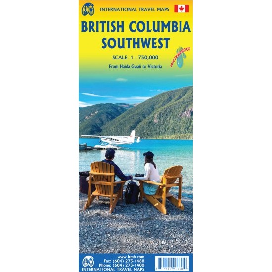
Description British Columbia Southwest Travel Map The British Columbia Southwest Travel Map is a double-sided map which covers the most densely populated portion of BC. Side 1 portrays Vancouver Island, the Lower Mainland region of Vancouver urban area and hinterland, the roads north to Whistler and Lillooet, and east to Merritt and Princeton, and the border crossings southward to the USA’s Washington State. Side 2 covers the more northerly portions of BC that fall within the Southwest. It also shows the magnificent Queen Charlotte Islands, now re-named Haida Gwaii, the port of Prince Rupert, and the newly-important port of Kitimat, both destined for greatness as Canada develops. A tiny bit of the Alaskan panhandle shows at the very top of the map.