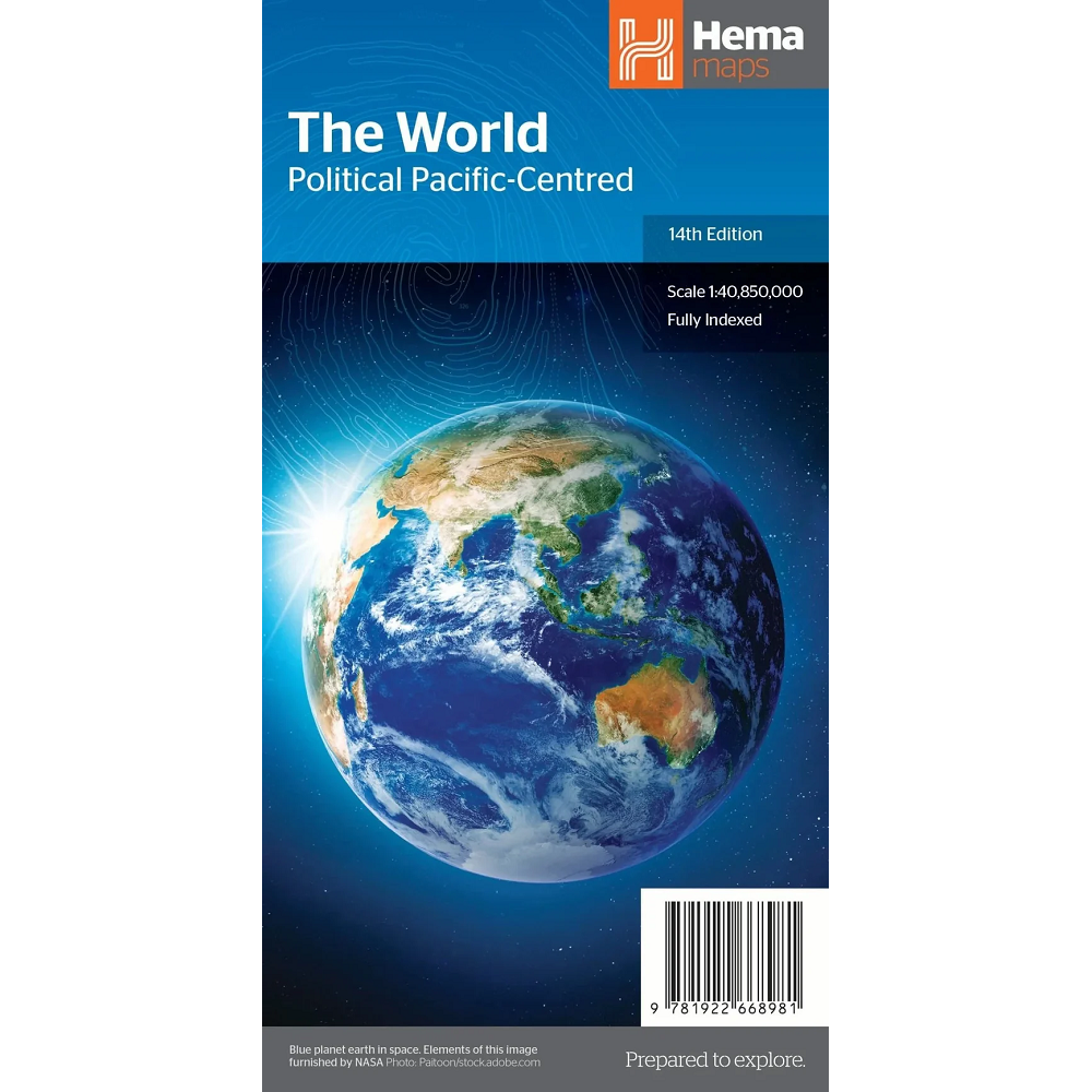
Description World Political Map 160 The World Political Map 160 is a detailed Mercator projection map of the World, centred over the Pacific at a scale of 1:40,754,000 Featured: Comprehensive index with lists of Countries National Capitals State/Provincial names State/Provincial Capitals Dependency Territories Deserts Headlands Islands and Island Groups Mountains and Mountain Ranges Also included are Peninsulas, Regions, Oceans/Seas, Sounds, Straits, Bays, Ice Shelves, Reef, Lakes, Reservoirs and Rivers.